
1955 Map of Meade River B-2
USGS Topo · Published 1967About this map
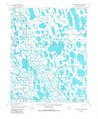
The Usuktuk River meanders across this vast Arctic landscape, which is largely defined by a dense network of thaw lakes and ponds within the Naval Petroleum Reserve No. 4. This 1955 survey illustrates a wilderness environment where water and permafrost dominate the topography. The Meade River enters from the southwest, joined by the smaller Pikroka Cr, creating a complex drainage system across the tundra. Evidence of human presence is sparse and temporary, represented only by a solitary Tractor Trail cutting through the northern and southern sectors of the quadrangle. These trails were vital for winter transport when the frozen ground allowed heavy equipment to move across the otherwise impassable wetlands. The map provides a look at the region’s geography during a period of early federal petroleum exploration on the North Slope.
Find a feature on this map
5 named features on this map. Tap any name to fly to it.
Don’t see what you’re looking for? This feature index may not catch every label — zoom into the map to look around manually.
Map Details
Editions of this 1955 Meade River B-2 Map
2 editions found
Other maps of this area

1951 · Meade River
USGS Topo · 1:250,000

1955 · Meade River
USGS Topo · 1:250,000

1955 · Meade River A-3
USGS Topo · 1:63,360

1955 · Meade River B-1
USGS Topo · 1:63,360

1955 · Meade River B-3
USGS Topo · 1:63,360

1955 · Meade River A-2
USGS Topo · 1:63,360

1955 · Meade River C-1
USGS Topo · 1:63,360
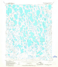
1955 · Meade River A-1
USGS Topo · 1:63,360

1955 · Meade River C-3
USGS Topo · 1:63,360
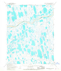
1955 · Meade River C-2
USGS Topo · 1:63,360