
1955 Map of Meade River C-1
USGS Topo · Published 1967About this map
The Meade River snakes through the northern reaches of the Arctic coastal plain, anchoring a landscape defined by an immense network of thaw lakes and wetlands. Within the vast boundaries of Naval Petroleum Reserve No. 4, the terrain is marked by the Okpiksak River and its numerous unnamed tributaries. This mid-1950s survey documents a period of early exploration and mobility in the remote north, where the lack of permanent roads is compensated for by a primitive overland network. Long stretches of Tractor Trail and smaller Trail segments cross the tundra, likely utilized for seasonal transport and resource assessment. The orientation of the elongated lakes across the sheet reflects the influence of prevailing winds on the permafrost, creating a distinct geomorphological pattern characteristic of this specific region of the North Slope.
Find a feature on this map
5 named features on this map. Tap any name to fly to it.
Don’t see what you’re looking for? This feature index may not catch every label — zoom into the map to look around manually.
Map Details
Editions of this 1955 Meade River C-1 Map
This is the sole edition of this map. No revisions or reprints were ever made.
Other maps of this area

1951 · Meade River
USGS Topo · 1:250,000

1951 · Teshekpuk
USGS Topo · 1:250,000

1955 · Teshekpuk
USGS Topo · 1:250,000

1955 · Teshekpuk C-5
USGS Topo · 1:63,360
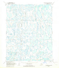
1955 · Teshekpuk B-5
USGS Topo · 1:63,360

1955 · Meade River
USGS Topo · 1:250,000

1955 · Meade River B-1
USGS Topo · 1:63,360

1955 · Meade River B-2
USGS Topo · 1:63,360

1955 · Meade River D-2
USGS Topo · 1:63,360
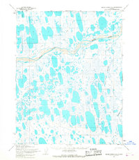
1955 · Meade River C-2
USGS Topo · 1:63,360