
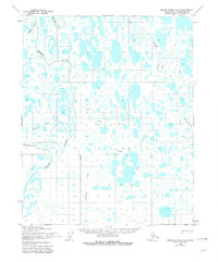
1955 Map of Meade River A-2
USGS Topo · Published 1967About this map
The Meade River meanders across this Arctic landscape, creating a complex network of oxbows and river bends within the Naval Petroleum Reserve No. 4. This 1955 survey by the Army Map Service documents a remote region of the North Slope defined by its seasonal transport routes rather than permanent settlements. Transport across the tundra is marked by several variations of a Winter Tractor Trail, illustrating how the mid-century energy and defense sectors navigated this environment before modern permanent infrastructure. The terrain is dominated by a dense concentration of thaw lakes and minor drainages like Agutirvak Creek and the Usuktuk River. The landmark of Singiluk stands as a notable named point amidst the vast water-pocked plains, while Piksiksak Creek and Pisiksagiavik Creek feed into the primary river system, reflecting the intricate hydrology of the Alaskan interior.
Find a feature on this map
11 named features on this map. Tap any name to fly to it.
Don’t see what you’re looking for? This feature index may not catch every label — zoom into the map to look around manually.
Map Details
Editions of this 1955 Meade River A-2 Map
3 editions found
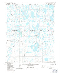
Other maps of this area

1951 · Meade River
USGS Topo · 1:250,000

1951 · Lookout Ridge
USGS Topo · 1:250,000

1955 · Meade River
USGS Topo · 1:250,000

1955 · Meade River A-3
USGS Topo · 1:63,360

1955 · Meade River B-1
USGS Topo · 1:63,360

1955 · Meade River B-3
USGS Topo · 1:63,360

1955 · Meade River B-2
USGS Topo · 1:63,360
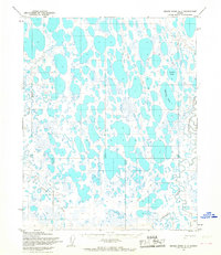
1955 · Meade River A-1
USGS Topo · 1:63,360

1956 · Lookout Ridge
USGS Topo · 1:250,000
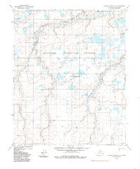
1984 · Lookout Ridge D-1
USGS Topo · 1:63,360