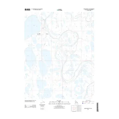
2013 Map of Meade River B-3 NE
USGS Topo · Published 2013About this map
The settlement of Atqasuk anchors this 2013 survey of the North Slope, situated where the meandering Meade River meets a landscape defined by expansive tundra lakes and seasonal waterways. Aviation and vital communications are central to this remote community, evidenced by the Atqasuk Edward Burnell Sr. Memorial Airport and the local Post Office. North of the village, the small settlement of Kigakrak sits along the river's path.
Find a feature on this map
9 named features on this map. Tap any name to fly to it.
Don’t see what you’re looking for? This feature index may not catch every label — zoom into the map to look around manually.
Map Details
Editions of this 2013 Meade River B-3 NE Map
This is the sole edition of this map. No revisions or reprints were ever made.
Other maps of this area

1951 · Meade River
USGS Topo · 1:250,000

1955 · Meade River
USGS Topo · 1:250,000

1955 · Meade River B-3
USGS Topo · 1:63,360

1955 · Meade River B-2
USGS Topo · 1:63,360

1955 · Meade River C-3
USGS Topo · 1:63,360
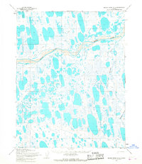
1955 · Meade River C-2
USGS Topo · 1:63,360
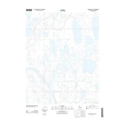
2013 · Meade River C-3 SE
USGS Topo · 1:25,000
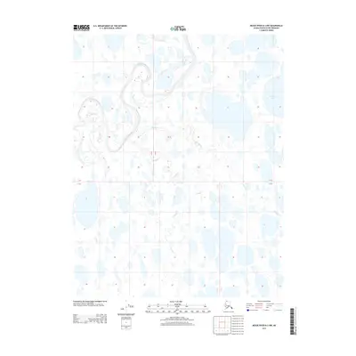
2013 · Meade River B-3 NW
USGS Topo · 1:25,000
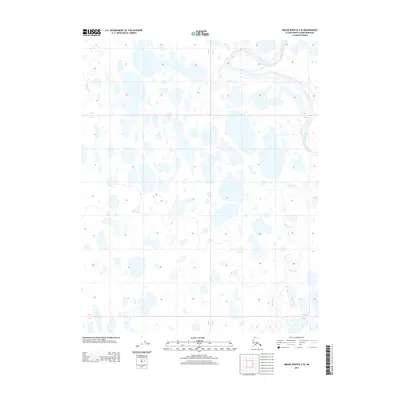
2013 · Meade River B-3 SE
USGS Topo · 1:25,000
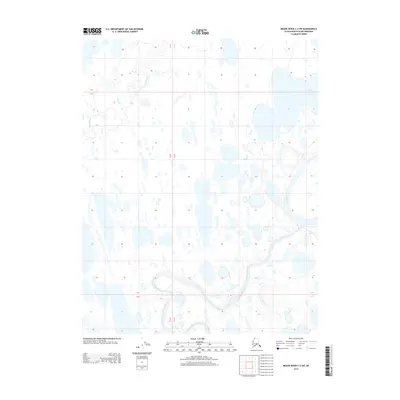
2013 · Meade River C-3 SW
USGS Topo · 1:25,000