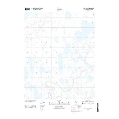
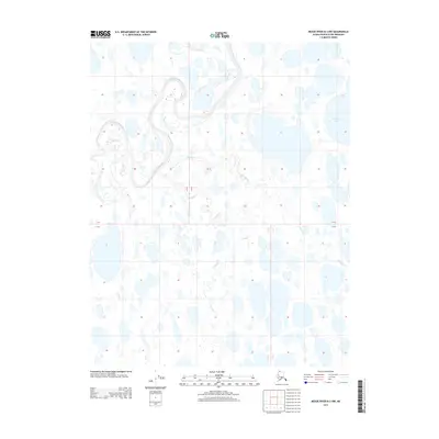
2013 Map of Meade River C-3 SW
USGS Topo · Published 2013About this map
The Arctic coastal plain of the North Slope borough is defined here by a dense network of thaw lakes and meandering waterways. The Meade River dominates the eastern margin, while the southern portion of the sheet is marked by the winding path of the Nigisaktuvik River. This 2013 topographic study reveals a landscape of low relief, where subtle elevation changes dictate the flow of minor tributaries like Kucheak Cr. The lack of man-made infrastructure or settlements underscores the untouched character of this Alaskan wilderness, where the hydrology of the tundra is the primary geographical feature. The map provides a precise look at the intricate shoreline patterns of hundreds of unnamed lakes that characterize this permafrost-underlain terrain.
Find a feature on this map
6 named features on this map. Tap any name to fly to it.
Don’t see what you’re looking for? This feature index may not catch every label — zoom into the map to look around manually.
Map Details
Editions of this 2013 Meade River C-3 SW Map
This is the sole edition of this map. No revisions or reprints were ever made.
Other maps of this area

1951 · Meade River
USGS Topo · 1:250,000

1955 · Meade River
USGS Topo · 1:250,000

1955 · Meade River B-3
USGS Topo · 1:63,360

1955 · Meade River C-3
USGS Topo · 1:63,360

1955 · Meade River B-4
USGS Topo · 1:63,360

1955 · Meade River C-4
USGS Topo · 1:63,360
1962 · Meade River C-4
USGS Topo · 1:50,000
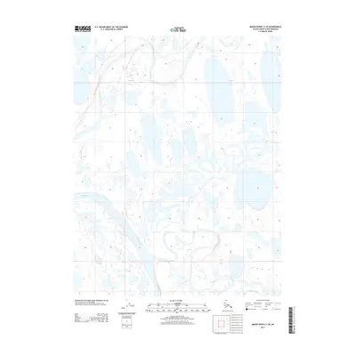
2013 · Meade River C-3 SE
USGS Topo · 1:25,000
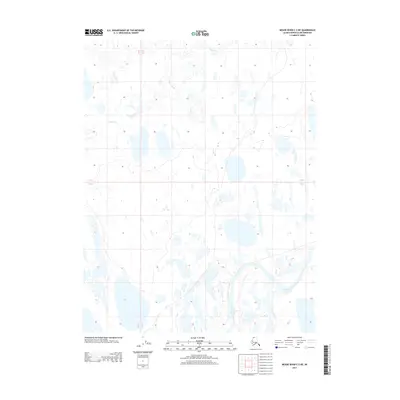
2013 · Meade River C-3 NE
USGS Topo · 1:25,000
2013 · Meade River B-3 NW
USGS Topo · 1:25,000