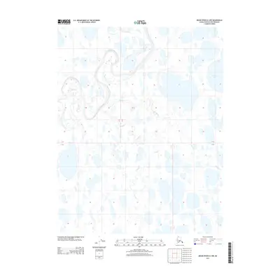
2013 Map of Meade River B-3 NW
USGS Topo · Published 2013About this map
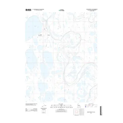
Nigisakluvik River meanders through the northwest corner of this remote landscape, defining a complex network of thaw lakes and arctic wetlands on the North Slope. The terrain is characterized by a dense concentration of water bodies, including the prominent Ikmakrak Lake to the northeast. Hydrological features like Tikikluk Cr and Kukak Cr illustrate the drainage patterns typical of this permafrost-underlain region, where water flows are dictated by subtle elevation changes across the coastal plain. The map reveals the intricate natural geometry of the Alaskan tundra before the expansion of modern industrial infrastructure, offering a detailed view of the pristine hydrography of the borough during the early 21st century.
Find a feature on this map
7 named features on this map. Tap any name to fly to it.
Don’t see what you’re looking for? This feature index may not catch every label — zoom into the map to look around manually.
Map Details
Editions of this 2013 Meade River B-3 NW Map
This is the sole edition of this map. No revisions or reprints were ever made.
Other maps of this area

1951 · Meade River
USGS Topo · 1:250,000

1955 · Meade River
USGS Topo · 1:250,000

1955 · Meade River B-3
USGS Topo · 1:63,360

1955 · Meade River C-3
USGS Topo · 1:63,360

1955 · Meade River B-4
USGS Topo · 1:63,360

1955 · Meade River C-4
USGS Topo · 1:63,360
1962 · Meade River C-4
USGS Topo · 1:50,000
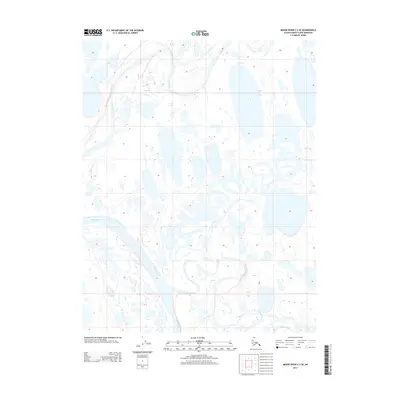
2013 · Meade River C-3 SE
USGS Topo · 1:25,000
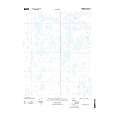
2013 · Meade River B-3 SE
USGS Topo · 1:25,000
2013 · Meade River B-3 NE
USGS Topo · 1:25,000