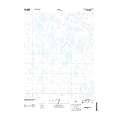
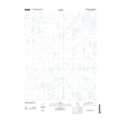
2013 Map of Meade River B-3 SE
USGS Topo · Published 2013About this map
Meade River snakes through this high-latitude landscape on the North Slope, exhibiting the dramatic oxbows and meanders characteristic of Arctic coastal plain hydrology. This 2013 survey illustrates an environment dominated by thermokarst activity, where countless unnamed thaw lakes and ponds saturate the terrain between the primary watercourses. Pikroka Cr and Tikikluk Cr drain the surrounding wetlands, their shifting channels and surrounding depressions showing the continuous evolution of the permafrost-driven topography. The map detail highlights the sparse, non-linear drainage patterns that define this remote region of the North Slope Borough during the early 21st century.
Find a feature on this map
6 named features on this map. Tap any name to fly to it.
Don’t see what you’re looking for? This feature index may not catch every label — zoom into the map to look around manually.
Map Details
Editions of this 2013 Meade River B-3 SE Map
This is the sole edition of this map. No revisions or reprints were ever made.
Other maps of this area

1951 · Meade River
USGS Topo · 1:250,000

1955 · Meade River
USGS Topo · 1:250,000

1955 · Meade River A-3
USGS Topo · 1:63,360

1955 · Meade River B-3
USGS Topo · 1:63,360

1955 · Meade River A-2
USGS Topo · 1:63,360

1955 · Meade River B-2
USGS Topo · 1:63,360
2013 · Meade River A-2 NW
USGS Topo · 1:25,000
2013 · Meade River A-3 NW
USGS Topo · 1:25,000
2013 · Meade River B-3 NW
USGS Topo · 1:25,000
2013 · Meade River A-3 NE
USGS Topo · 1:25,000