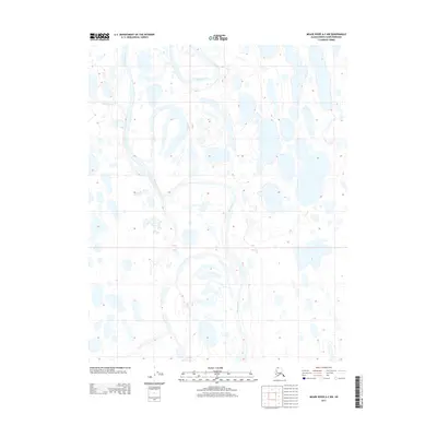
2013 Map of Meade River A-2 NW
USGS Topo · Published 2013About this map
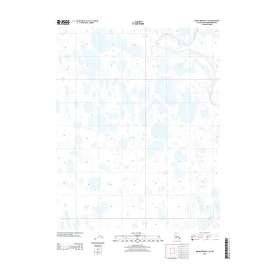
Meade River meanders across this Arctic landscape, forming a complex network of oxbow lakes and abandoned channels that dominate the terrain of the North Slope. This 2013 survey reveals the dynamic nature of the river system as it winds through a landscape saturated with thermokarst lakes and ponded water. The arrival of Agutiroak Cr from the west adds to the intricate hydrology of the area, illustrating how minor tributaries integrate into the larger river basin. The map provides a clear look at the township and range lines, including the boundary between T 10 N and T 9 N, which impose a geometric human order over the fluid, ever-changing Arctic wetlands.
Find a feature on this map
4 named features on this map. Tap any name to fly to it.
Don’t see what you’re looking for? This feature index may not catch every label — zoom into the map to look around manually.
Map Details
Editions of this 2013 Meade River A-2 NW Map
This is the sole edition of this map. No revisions or reprints were ever made.
Other maps of this area

1951 · Meade River
USGS Topo · 1:250,000

1955 · Meade River
USGS Topo · 1:250,000

1955 · Meade River A-3
USGS Topo · 1:63,360

1955 · Meade River B-3
USGS Topo · 1:63,360

1955 · Meade River A-2
USGS Topo · 1:63,360

1955 · Meade River B-2
USGS Topo · 1:63,360
2013 · Meade River A-2 NE
USGS Topo · 1:25,000
2013 · Meade River B-2 SE
USGS Topo · 1:25,000
2013 · Meade River A-3 NE
USGS Topo · 1:25,000
2013 · Meade River B-3 SE
USGS Topo · 1:25,000