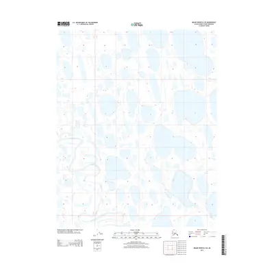
2013 Map of Meade River B-2 SE
USGS Topo · Published 2013About this map
Usuktuk River winds through this expanse of the Arctic coastal plain, where the landscape is defined by a dense concentration of thermokarst lakes and thaw ponds. These water bodies, varying in size and orientation, demonstrate the characteristic permafrost-driven geomorphology of the North Slope Borough. This 2013 survey provides a detailed record of the hydrographic patterns and subtle elevation changes across the T10N, T11N, and T12N townships before the shifting climate and permafrost degradation significantly alter the shoreline of these sensitive basins. The map captures the meandering path of the river as it cuts through the low-lying terrain, offering a precise baseline for studying the hydrological evolution of this remote Alaskan environment.
Find a feature on this map
1 named feature on this map. Tap any name to fly to it.
Don’t see what you’re looking for? This feature index may not catch every label — zoom into the map to look around manually.
Map Details
Editions of this 2013 Meade River B-2 SE Map
This is the sole edition of this map. No revisions or reprints were ever made.
Other maps of this area

1951 · Meade River
USGS Topo · 1:250,000

1955 · Meade River
USGS Topo · 1:250,000

1955 · Meade River B-1
USGS Topo · 1:63,360

1955 · Meade River A-2
USGS Topo · 1:63,360

1955 · Meade River B-2
USGS Topo · 1:63,360
1955 · Meade River A-1
USGS Topo · 1:63,360
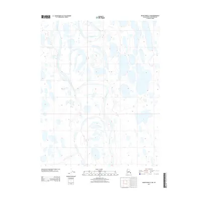
2013 · Meade River A-2 NW
USGS Topo · 1:25,000
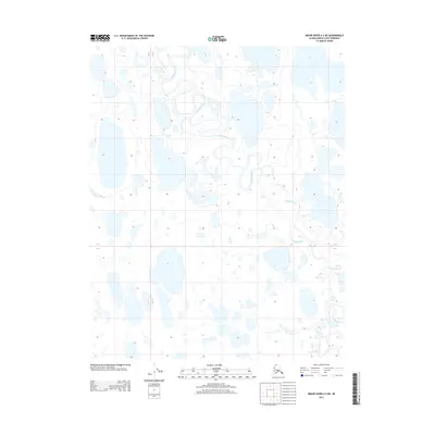
2013 · Meade River A-2 NE
USGS Topo · 1:25,000
2013 · Meade River B-1 SW
USGS Topo · 1:25,000
2013 · Meade River A-1 NW
USGS Topo · 1:25,000