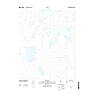
2013 Map of Meade River A-3 NW
USGS Topo · Published 2013About this map
Kukak Cr and Pikroka Cr provide the primary drainage for this stretch of the Arctic coastal plain, located within the North Slope Borough. The landscape is dominated by a complex network of thaw lakes and ponds, typical of the permafrost-underlain terrain in this region of northern Alaska. Without permanent roads or settlements, the map illustrates the raw hydrography of the tundra, where unnamed water bodies of varying sizes outnumber the terrestrial landforms. The surveyed township and range lines, specifically Townships 9 and 10 North and Ranges 22 and 23 West, establish the legal grid over an area where traditional landmarks are defined by the winding paths of small creeks rather than human infrastructure.
Find a feature on this map
4 named features on this map. Tap any name to fly to it.
Don’t see what you’re looking for? This feature index may not catch every label — zoom into the map to look around manually.
Map Details
Editions of this 2013 Meade River A-3 NW Map
This is the sole edition of this map. No revisions or reprints were ever made.
Other maps of this area

1951 · Meade River
USGS Topo · 1:250,000

1955 · Meade River
USGS Topo · 1:250,000

1955 · Meade River A-3
USGS Topo · 1:63,360

1955 · Meade River B-3
USGS Topo · 1:63,360
1955 · Meade River A-4
USGS Topo · 1:63,360

1955 · Meade River B-4
USGS Topo · 1:63,360
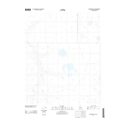
2013 · Meade River A-3 SW
USGS Topo · 1:25,000
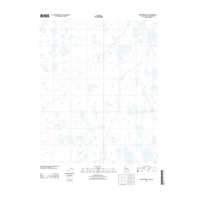
2013 · Meade River A-3 NE
USGS Topo · 1:25,000
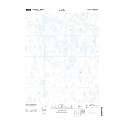
2013 · Meade River B-3 SE
USGS Topo · 1:25,000
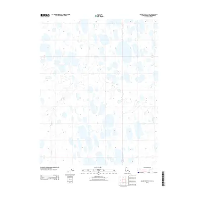
2013 · Meade River B-3 SW
USGS Topo · 1:25,000