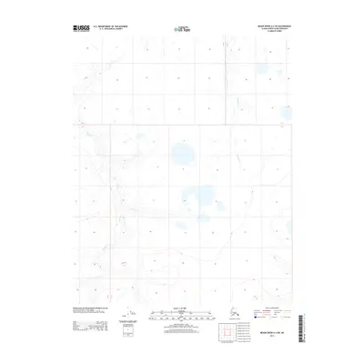
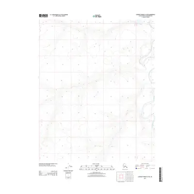
2013 Map of Meade River A-3 SW
USGS Topo · Published 2013About this map
Kowlak Cr and Pikroka Cr define the hydrological landscape of this Arctic coastal plain region in the North Slope Borough. This 2013 topographic study documents a landscape characterized by intricate drainage patterns and numerous thaw lakes, typical of the permafrost-underlain terrain in northern Alaska. The meandering course of Kowlak Cr in the western portion of the quadrangle shows significant sinuosity, reflecting the low-gradient nature of the tundra. In the eastern section, Pikroka Cr flows through an area dense with small ponds and thermokarst features. The lack of built infrastructure or named settlements highlights the environmental character of this remote territory, where the physical geography of the water systems remains the primary identifier for land navigation and local history.
Find a feature on this map
2 named features on this map. Tap any name to fly to it.
Don’t see what you’re looking for? This feature index may not catch every label — zoom into the map to look around manually.
Map Details
Editions of this 2013 Meade River A-3 SW Map
This is the sole edition of this map. No revisions or reprints were ever made.
Other maps of this area

1951 · Meade River
USGS Topo · 1:250,000

1951 · Lookout Ridge
USGS Topo · 1:250,000

1955 · Meade River
USGS Topo · 1:250,000

1955 · Meade River A-3
USGS Topo · 1:63,360
1955 · Meade River A-4
USGS Topo · 1:63,360

1956 · Lookout Ridge
USGS Topo · 1:250,000
1984 · Lookout Ridge D-4
USGS Topo · 1:63,360

1984 · Lookout Ridge D-3
USGS Topo · 1:63,360
2013 · Lookout Ridge D-3 NW
USGS Topo · 1:25,000
2013 · Lookout Ridge D-3 NE
USGS Topo · 1:25,000