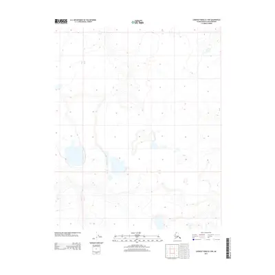
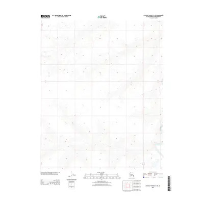
2013 Map of Lookout Ridge D-3 NW
USGS Topo · Published 2013About this map
The North Slope landscape of Alaska is defined by a sparse network of water bodies and subtle relief, captured in this 2013 topographic survey. The area is divided by the administrative boundaries of T 8 N, T 7 N, and T 6 N, crossing into R 24 W and R 23 W. The lack of named settlements or infrastructure highlights the isolation of this Arctic region, where the primary features are unnamed ponds and the contour lines marking the rise of the North Slope. Researchers of Alaskan geography will find a detailed representation of the undisturbed drainage patterns and the precise alignment of township and range lines across this expansive tundra environment.
Find a feature on this map
5 named features on this map. Tap any name to fly to it.
Don’t see what you’re looking for? This feature index may not catch every label — zoom into the map to look around manually.
Map Details
Editions of this 2013 Lookout Ridge D-3 NW Map
This is the sole edition of this map. No revisions or reprints were ever made.
Other maps of this area

1951 · Meade River
USGS Topo · 1:250,000

1951 · Lookout Ridge
USGS Topo · 1:250,000

1955 · Meade River
USGS Topo · 1:250,000

1955 · Meade River A-3
USGS Topo · 1:63,360
1955 · Meade River A-4
USGS Topo · 1:63,360

1956 · Lookout Ridge
USGS Topo · 1:250,000
1984 · Lookout Ridge D-4
USGS Topo · 1:63,360

1984 · Lookout Ridge D-3
USGS Topo · 1:63,360
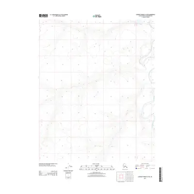
2013 · Lookout Ridge D-3 NE
USGS Topo · 1:25,000
2013 · Lookout Ridge D-3 SE
USGS Topo · 1:25,000