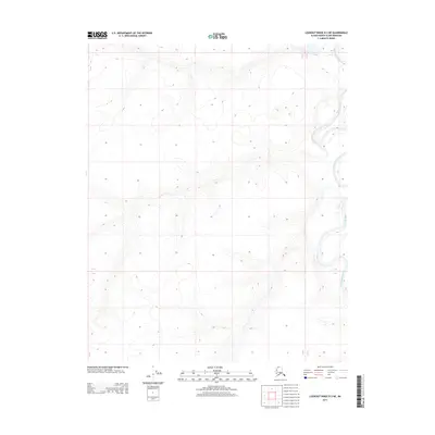
2013 Map of Lookout Ridge D-3 NE
USGS Topo · Published 2013About this map
Meade River defines the eastern edge of this terrain in the Alaska North Slope Borough, where the watercourse winds through a series of dramatic oxbow bends and meanders. The landscape is characterized by the structured grid of the Public Land Survey System, marked by township and range boundaries including T 7 N and R 22 W. This area of the Arctic coastal plain reflects a vast, undeveloped expanse where the natural hydrology of the river system dictates the shape of the land. The intricate contour lines illustrate a low-relief environment typical of this high-latitude region, showing how the river has shifted across the valley floor over time.
Find a feature on this map
4 named features on this map. Tap any name to fly to it.
Don’t see what you’re looking for? This feature index may not catch every label — zoom into the map to look around manually.
Map Details
Editions of this 2013 Lookout Ridge D-3 NE Map
This is the sole edition of this map. No revisions or reprints were ever made.
Other maps of this area

1951 · Meade River
USGS Topo · 1:250,000

1951 · Lookout Ridge
USGS Topo · 1:250,000

1955 · Meade River
USGS Topo · 1:250,000

1955 · Meade River A-3
USGS Topo · 1:63,360

1955 · Meade River A-2
USGS Topo · 1:63,360

1956 · Lookout Ridge
USGS Topo · 1:250,000
1984 · Lookout Ridge D-2
USGS Topo · 1:63,360

1984 · Lookout Ridge D-3
USGS Topo · 1:63,360
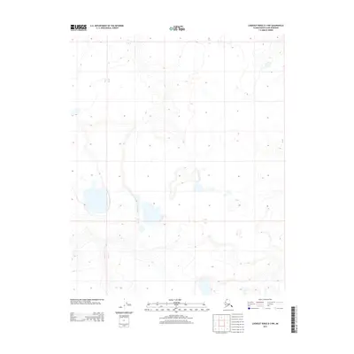
2013 · Lookout Ridge D-3 NW
USGS Topo · 1:25,000
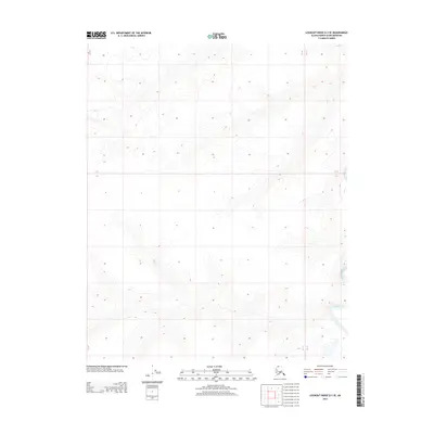
2013 · Lookout Ridge D-3 SE
USGS Topo · 1:25,000