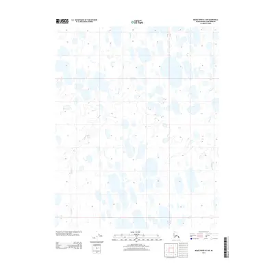
2013 Map of Meade River B-3 SW
USGS Topo · Published 2013About this map
Kukak Creek and Tikikluk Creek thread through this tundra landscape within the North Slope Borough, as charted in this 2013 topographic study. The terrain is characterized by a dense network of thaw lakes and ponds, typical of the Arctic coastal plain's permafrost environment. The map details the Public Land Survey System grid, including boundaries for Township 11 North and Ranges 22 and 23 West. These waterways are the primary named features in an otherwise uninhabited stretch of the Meade River region, reflecting the seasonal drainage patterns of the Alaskan far north. Researchers can observe the intricate hydrography and elevation contours that define the low-lying basin during the early twenty-first century.
Find a feature on this map
41 named features on this map. Tap any name to fly to it.
Don’t see what you’re looking for? This feature index may not catch every label — zoom into the map to look around manually.
Map Details
Editions of this 2013 Meade River B-3 SW Map
This is the sole edition of this map. No revisions or reprints were ever made.
Other maps of this area

1951 · Meade River
USGS Topo · 1:250,000

1955 · Meade River
USGS Topo · 1:250,000

1955 · Meade River A-3
USGS Topo · 1:63,360

1955 · Meade River B-3
USGS Topo · 1:63,360
1955 · Meade River A-4
USGS Topo · 1:63,360

1955 · Meade River B-4
USGS Topo · 1:63,360
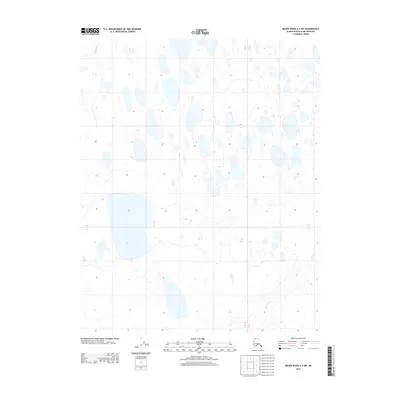
2013 · Meade River A-3 NW
USGS Topo · 1:25,000
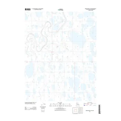
2013 · Meade River B-3 NW
USGS Topo · 1:25,000
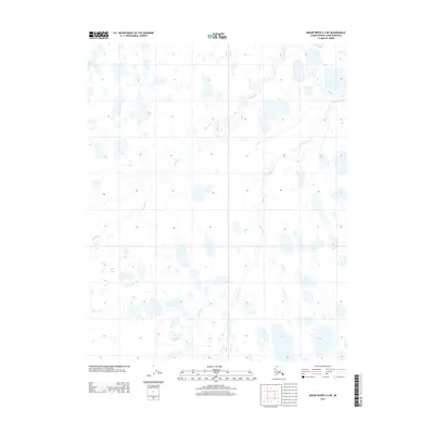
2013 · Meade River A-3 NE
USGS Topo · 1:25,000
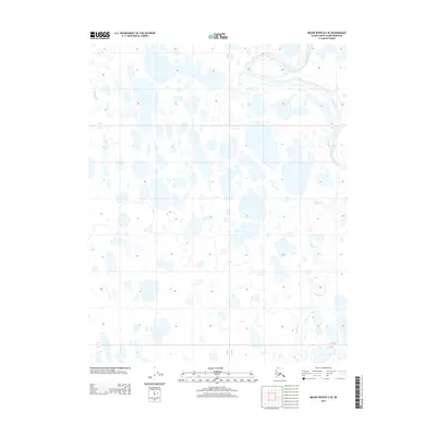
2013 · Meade River B-3 SE
USGS Topo · 1:25,000