
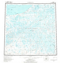
1955 Map of Meade River
USGS Topo · Published 1966About this map
Naval Petroleum Reserve No 4 dominates this mid-century portrait of Alaska's North Slope, a landscape of intricate hydrological networks and coastal transition. The Arctic coastline stretches from Pt Franklin and the Seahorse Islands across Peard Bay to the prominent Skull Cliff. Inland, the terrain is characterized by a dense concentration of thaw lakes, such as Lake Itinik and Lake Tuvak, which feed meandering waterways like the Kugrua River and Inaru River.
Find a feature on this map
53 named features on this map. Tap any name to fly to it.
Don’t see what you’re looking for? This feature index may not catch every label — zoom into the map to look around manually.
Map Details
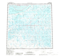
Editions of this 1955 Meade River Map
3 editions found
Other maps of this area

1945 · Barrow
USGS Topo · 1:250,000

1949 · Barrow
USGS Topo · 1:250,000

1951 · Utukok River
USGS Topo · 1:250,000

1951 · Meade River
USGS Topo · 1:250,000

1951 · Wainwright
USGS Topo · 1:250,000

1951 · Lookout Ridge
USGS Topo · 1:250,000

1951 · Teshekpuk
USGS Topo · 1:250,000

1951 · Ikpikpuk River
USGS Topo · 1:250,000

1955 · Barrow
USGS Topo · 1:250,000

1955 · Teshekpuk
USGS Topo · 1:250,000