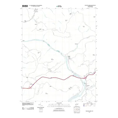
2011 Map of Meadow Creek
USGS Topo · Published 2011About this map
The New River carves a deep valley through this West Virginia landscape, punctuated by the dramatic Sandstone Falls and Richmond Falls. The map reveals a network of small, isolated settlements connected by winding ridge roads and valley tracks, including Meadow Creek, Sandstone, and Abraham. Many of these locales maintain their identity through rural infrastructure like the Meadow Creek Post Office and Abraham Post Office.
Find a feature on this map
74 named features on this map. Tap any name to fly to it.
Don’t see what you’re looking for? This feature index may not catch every label — zoom into the map to look around manually.
Map Details
Editions of this 2011 Meadow Creek Map
This is the sole edition of this map. No revisions or reprints were ever made.
Other maps of this area

1887 · Hinton
USGS Topo · 1:125,000

1891 · Raleigh
USGS Topo · 1:125,000

1892 · Hinton
USGS Topo · 1:125,000

1897 · Raleigh
USGS Topo · 1:125,000

1902 · Raleigh
USGS Topo · 1:125,000

1911 · Flattop
USGS Topo · 1:48,000

1911 · Beckley
USGS Topo · 1:48,000

1912 · Meadow Creek
USGS Topo · 1:48,000

1912 · Big Bend
USGS Topo · 1:62,500

1913 · Beckley
USGS Topo · 1:62,500