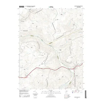
2014 Map of Meadow Creek
USGS Topo · Published 2014About this map
New River Gorge National River dominates the center of this terrain, following the winding course of the New River as it carves through the Appalachian landscape. The map highlights the point where Meadow Creek joins the larger river, a critical junction for local transport and settlement. Small communities and family sites are scattered across the high ground, including Backus, Beurytown, and Abraham. Genealogists will find numerous family and community burial sites such as Harrah Cem, Goodson Cem, and Saint Colmans Cem, many situated near high peaks like Backus Mtn and Plumley Mtn. At the southern end of the gorge, Sandstone Falls marks a significant natural barrier and landmark near the Mary Draper Ingles Bridge, which carries travelers across the water between Sandstone and the surrounding heights of Irish Mtn.
Find a feature on this map
92 named features on this map. Tap any name to fly to it.
Don’t see what you’re looking for? This feature index may not catch every label — zoom into the map to look around manually.
Map Details
Editions of this 2014 Meadow Creek Map
This is the sole edition of this map. No revisions or reprints were ever made.
Other maps of this area

1887 · Hinton
USGS Topo · 1:125,000

1891 · Raleigh
USGS Topo · 1:125,000

1892 · Hinton
USGS Topo · 1:125,000

1897 · Raleigh
USGS Topo · 1:125,000

1902 · Raleigh
USGS Topo · 1:125,000

1911 · Flattop
USGS Topo · 1:48,000

1911 · Beckley
USGS Topo · 1:48,000

1912 · Meadow Creek
USGS Topo · 1:48,000

1912 · Big Bend
USGS Topo · 1:62,500

1913 · Beckley
USGS Topo · 1:62,500