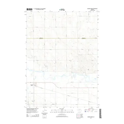
2014 Map of Meadow Grove
USGS Topo · Published 2014About this map
Meadow Grove sits along the southern bank of the Elkhorn River, anchored by the local street grid including Railroad Ave and 1st St. The surrounding landscape is defined by the river’s winding course and its associated oxbows, such as Jackson Lake and Wendts Lake. The transition from the river valley to the upland plains is marked by a series of north-south and east-west rural roads that divide the territory into a traditional section-line grid across the Pierce Co Madison Co boundary.
Find a feature on this map
32 named features on this map. Tap any name to fly to it.
Don’t see what you’re looking for? This feature index may not catch every label — zoom into the map to look around manually.
Map Details
Editions of this 2014 Meadow Grove Map
This is the sole edition of this map. No revisions or reprints were ever made.
Other maps of this area

1955 · Sioux City
USGS Topo · 1:250,000

1955 · Fremont
USGS Topo · 1:250,000

1957 · Fremont
USGS Topo · 1:250,000

1958 · Sioux City
USGS Topo · 1:250,000

1958 · Fremont
USGS Topo · 1:250,000

1959 · Sioux City
USGS Topo · 1:250,000

1963 · Pierce NW
USGS Topo · 1:24,000

1963 · Battle Creek
USGS Topo · 1:24,000

1963 · Pierce SE
USGS Topo · 1:24,000

1963 · Emerick
USGS Topo · 1:24,000