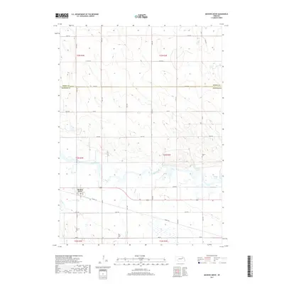
2017 Map of Meadow Grove
USGS Topo · Published 2017About this map
Meadow Grove serves as the central hub of this agricultural landscape in Madison County, located just south of the Elkhorn River. The river corridor dominates the central portion of the map, creating a network of oxbows and water bodies including Jackson Lake and Wendts Lake. The transition from the river valley to the surrounding uplands is marked by a grid of rural roads and established local landmarks, including several sites of genealogical interest. Local history is anchored at the Jackson Cem, Lutheran Cem, and Deer Creek Cem, which are scattered throughout the townships. A notable modern transformation of the landscape is the Cowboy Trl, which follows a former rail corridor through the heart of the region, passing directly through the community and crossing Buffalo Cr and Deer Cr.
Find a feature on this map
35 named features on this map. Tap any name to fly to it.
Don’t see what you’re looking for? This feature index may not catch every label — zoom into the map to look around manually.
Map Details
Editions of this 2017 Meadow Grove Map
This is the sole edition of this map. No revisions or reprints were ever made.
Other maps of this area

1955 · Sioux City
USGS Topo · 1:250,000

1955 · Fremont
USGS Topo · 1:250,000

1957 · Fremont
USGS Topo · 1:250,000

1958 · Sioux City
USGS Topo · 1:250,000

1958 · Fremont
USGS Topo · 1:250,000

1959 · Sioux City
USGS Topo · 1:250,000

1963 · Pierce NW
USGS Topo · 1:24,000

1963 · Battle Creek
USGS Topo · 1:24,000

1963 · Pierce SE
USGS Topo · 1:24,000

1963 · Emerick
USGS Topo · 1:24,000