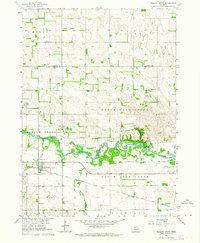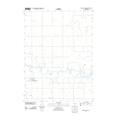
2021 Map of Meadow Grove
USGS Topo · Published 2021About this map
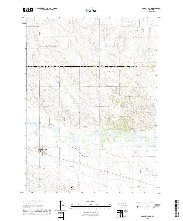
The village of Meadow Grove sits at the heart of this survey, positioned where the southern bluffs meet the valley of the Elkhorn River. This modern study illustrates the transformation of the region's transport network, most notably the conversion of the historic railroad corridor into the recreational Cowboy Trl, which now parallels the river and Buffalo Cr. To the north, the terrain transitions into the high plains across the boundary of Pierce Co and Madison Co. Local heritage is anchored by several rural burial grounds, including Buffington - Jackson Cem on the northern banks and Saint Mathews Lutheran Cem to the southwest. The landscape is punctuated by seasonal wetlands and oxbow formations like Jackson Lake and Wendts Lake, which mark the shifting course of the river through this agricultural corridor.
Find a feature on this map
37 named features on this map. Tap any name to fly to it.
Don’t see what you’re looking for? This feature index may not catch every label — zoom into the map to look around manually.
Map Details
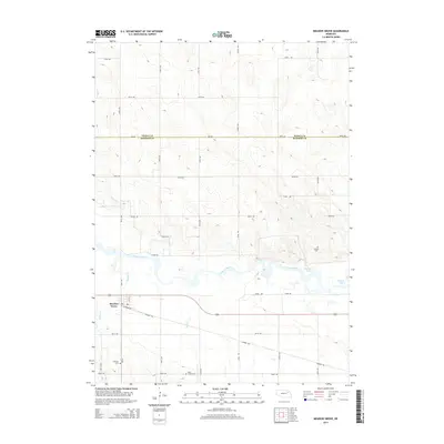
Editions of this 2021 Meadow Grove Map
This is the sole edition of this map. No revisions or reprints were ever made.
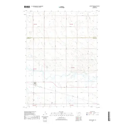
Historical Maps of Meadow Grove Through Time
5 maps found