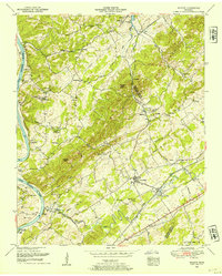
1952 Map of Meadow
USGS Topo · Published 1954About this map
The Little Tennessee River and its deep meanders shape the landscape of this East Tennessee territory, where traditional river crossings and early overland routes meet. Recorded by the Tennessee Valley Authority in the early 1950s, the map documents a transition point for communities like Morganton and Greenback. The presence of the Morganton Ferry and Davis Ferry underscores a period before extensive modern bridging, while the Louisville And Nashville railroad line connects the rural hinterland to regional commerce. Genealogists will find a high density of family-named landmarks and burial grounds, including the Tipton Cemetery, Douthet Cemetery, and Axley Cemetery. The area is further defined by its spiritual and social centers, such as the National Camp Ground and numerous historic churches including Hackney Chapel and Niles Ferry Church, marking the established social fabric of Loudon, Blount, and Monroe counties.
Find a feature on this map
50 named features on this map. Tap any name to fly to it.
Don’t see what you’re looking for? This feature index may not catch every label — zoom into the map to look around manually.
Map Details
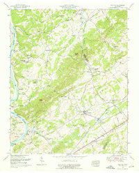
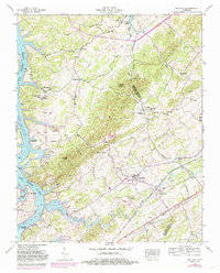
Editions of this 1952 Meadow Map
3 editions found
Other maps of this area

1895 · Loudon
USGS Topo · 1:125,000

1935 · Binfield
USGS Topo · 1:24,000

1935 · Meadow
USGS Topo · 1:24,000

1935 · Lenoir City
USGS Topo · 1:24,000
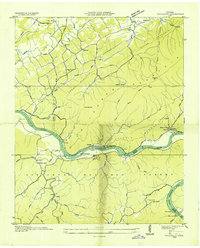
1935 · Tallassee
USGS Topo · 1:24,000
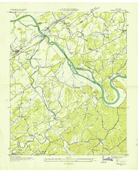
1935 · Vonore
USGS Topo · 1:24,000
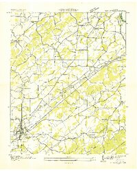
1936 · Madisonville
USGS Topo · 1:24,000

1936 · Louisville
USGS Topo · 1:24,000

1936 · Friendship
USGS Topo · 1:48,000

1936 · Loudon
USGS Topo · 1:24,000