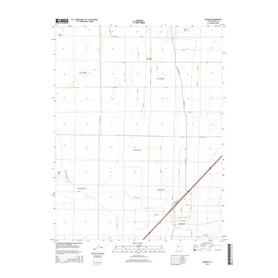
2014 Map of Meadow
USGS Topo · Published 2014About this map
Pahvant Valley serves as the central landscape for this Millard County survey, where the irrigation infrastructure of the Central Utah Canal supports the agricultural settlements of Meadow and Flowell. The eastern edge of the map is defined by the rising elevations of West Mountain, while the western terrain is marked by distinctive geological features including White Mountain and the volcanic landscape known as The Cinders. Several watercourses, such as Chalk Creek and Walker Creek, emerge from the higher ground to the east, feeding into the valley's drainage system. This map illustrates the intersection of modern interstate transport and historic rural development, with the Meadow Cemetery positioned near the town site as a quiet marker of the community's generational history.
Find a feature on this map
54 named features on this map. Tap any name to fly to it.
Don’t see what you’re looking for? This feature index may not catch every label — zoom into the map to look around manually.
Map Details
Editions of this 2014 Meadow Map
This is the sole edition of this map. No revisions or reprints were ever made.
Other maps of this area

1885 · Beaver
USGS Topo · 1:250,000

1885 · Sevier Desert
USGS Topo · 1:250,000

1953 · Richfield
USGS Topo · 1:250,000

1953 · Delta
USGS Topo · 1:250,000

1958 · Richfield
USGS Topo · 1:250,000

1958 · Delta
USGS Topo · 1:250,000

1960 · Meadow
USGS Topo · 1:24,000

1961 · Fillmore
USGS Topo · 1:24,000

1962 · Delta
USGS Topo · 1:250,000

1962 · Fillmore
USGS Topo · 1:62,500