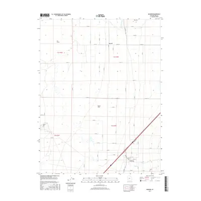
2017 Map of Meadow
USGS Topo · Published 2017About this map
The town of Meadow anchors the southeastern corner of this map, situated at the base of the rising mountains in the Pahvant Valley. This area shows a transition from the agricultural grid to the west and the geological features to the north, including the basaltic fields of The Cinders and the distinct peak of White Mtn. Water management is central to the landscape, evidenced by the Central Utah Canal cutting through the valley and the paths of Chalk Cr, Meadow Cr, and Walker Cr. For those researching local history, the map identifies the Meadow Cem and the Anderson Family Cem, providing specific locations for family heritage. The northern settlement of Flowell is connected by a network of rural roads such as Flowell Rd, illustrating the development of this Millard County corridor.
Find a feature on this map
59 named features on this map. Tap any name to fly to it.
Don’t see what you’re looking for? This feature index may not catch every label — zoom into the map to look around manually.
Map Details
Editions of this 2017 Meadow Map
This is the sole edition of this map. No revisions or reprints were ever made.
Other maps of this area

1885 · Beaver
USGS Topo · 1:250,000

1885 · Sevier Desert
USGS Topo · 1:250,000

1953 · Richfield
USGS Topo · 1:250,000

1953 · Delta
USGS Topo · 1:250,000

1958 · Richfield
USGS Topo · 1:250,000

1958 · Delta
USGS Topo · 1:250,000

1960 · Meadow
USGS Topo · 1:24,000

1961 · Fillmore
USGS Topo · 1:24,000

1962 · Delta
USGS Topo · 1:250,000

1962 · Fillmore
USGS Topo · 1:62,500