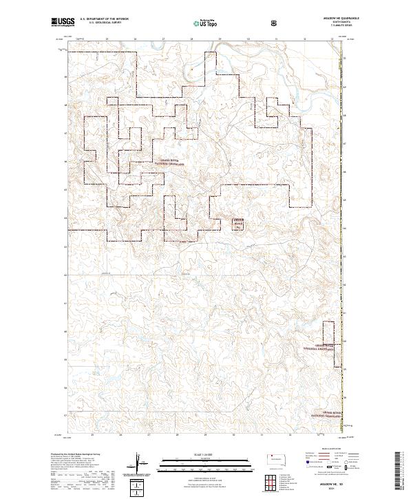
2021 Map of Meadow NE
USGS Topo · Published 2021About this map
Grand River National Grassland dominates this section of Perkins County, revealing a landscape defined by expansive public grazing lands and the winding course of the Grand River. In this part of South Dakota, the interplay between the river valley and the open range is evident in the drainage patterns of Cottonwood Cr, which cuts through the southern reaches of the township lines. The sparse road network, characterized by routes like Hudgins Rd, reflects the low-density ranching and conservation focus of the region. This 2021 update documents the boundary shifts and land management divisions within the Grand River NG, providing a clear look at the modern rural infrastructure in a territory where natural topography and federal land status dictate the pace of settlement.
Find a feature on this map
12 named features on this map. Tap any name to fly to it.
Don’t see what you’re looking for? This feature index may not catch every label — zoom into the map to look around manually.
Map Details
Editions of this 2021 Meadow NE Map
This is the sole edition of this map. No revisions or reprints were ever made.
Other maps of this area

1953 · McIntosh
USGS Topo · 1:250,000

1954 · Lemmon
USGS Topo · 1:250,000

1957 · Lemmon
USGS Topo · 1:250,000

1958 · McIntosh
USGS Topo · 1:250,000

1972 · Black Horse Butte NW
USGS Topo · 1:24,000

1972 · Black Horse Butte
USGS Topo · 1:24,000

1972 · Thunder Hawk SW
USGS Topo · 1:24,000

1980 · McIntosh
USGS Topo · 1:100,000
1983 · Lemmon Lake
USGS Topo · 1:24,000

1983 · Meadow NW
USGS Topo · 1:24,000