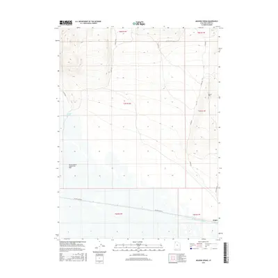
2017 Map of Meadow Spring
USGS Topo · Published 2017About this map
Hogup and its surrounding desert landscape are defined by industrial water management and remote access routes in this contemporary topographic record. The southern portion of the map is dominated by the Rio Buenaventura Canal, an engineered waterway that parallels the southern access routes. The industrial character of the region is further evidenced by the Newfoundland Evaporation Basin to the west, a significant feature for local mineral or salt extraction processes.
Find a feature on this map
17 named features on this map. Tap any name to fly to it.
Don’t see what you’re looking for? This feature index may not catch every label — zoom into the map to look around manually.
Map Details
Editions of this 2017 Meadow Spring Map
This is the sole edition of this map. No revisions or reprints were ever made.
Other maps of this area

1954 · Brigham City
USGS Topo · 1:250,000

1958 · Brigham City
USGS Topo · 1:250,000

1962 · Brigham City
USGS Topo · 1:250,000

1969 · Dolphin Island West
USGS Topo · 1:24,000

1969 · Hogup Ridge South
USGS Topo · 1:24,000

1969 · Hogup Ridge North
USGS Topo · 1:24,000

1983 · Desert Peak
USGS Topo · 1:24,000

1983 · Round Mountain NW
USGS Topo · 1:24,000

1983 · Sheep Mountain
USGS Topo · 1:24,000

1983 · Groome
USGS Topo · 1:24,000