
1983 Map of Groome
USGS Topo · Published 1983About this map
The Southern Pacific railroad line cuts a straight horizontal path across this desert landscape, connecting the small settlement of Groome to the broader rail network of northern Utah. Much of the surrounding terrain is dominated by the expansive Mud Flat, a stark environment punctuated by the rising slopes of the Newfoundland Mountains in the southern portion of the quadrangle. Industrial activity is evident near the mountain foothills, where several Mines and Gravel Pits are located, likely supported by the nearby rail access. A network of primitive transit, including a Jeep Trail, provides the only inland navigation through the flats, while a lone Spring in the north offers a rare water source in this arid region of Box Elder County.
Find a feature on this map
9 named features on this map. Tap any name to fly to it.
Don’t see what you’re looking for? This feature index may not catch every label — zoom into the map to look around manually.
Map Details
Editions of this 1983 Groome Map
This is the sole edition of this map. No revisions or reprints were ever made.
Other maps of this area

1954 · Brigham City
USGS Topo · 1:250,000

1958 · Brigham City
USGS Topo · 1:250,000

1962 · Brigham City
USGS Topo · 1:250,000

1983 · Desert Peak
USGS Topo · 1:24,000

1983 · Lemay
USGS Topo · 1:24,000

1983 · Round Mountain NW
USGS Topo · 1:24,000

1983 · Terrace Mountain East
USGS Topo · 1:24,000

1983 · Sheep Mountain
USGS Topo · 1:24,000
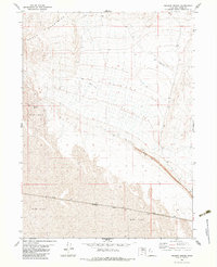
1983 · Meadow Spring
USGS Topo · 1:24,000
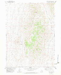
1983 · Tangent Peak
USGS Topo · 1:24,000