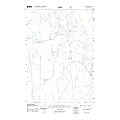
2011 Map of Meadows
USGS Topo · Published 2011About this map
The settlement of Meadows serves as the focal point of this western Idaho survey, situated near the headwaters of the Little Goose Creek and the West Branch Goose Creek. This high mountain valley, characterized by distinctive terrain such as Moorehead Flat and Meadow Hill, reveals a landscape defined by ranching and winter recreation. The Meadows Valley Cemetery stands as a significant site for genealogical research, while further south, the Payette Lakes Ski Area marks the region's importance as a recreational hub. To the east, the map traces the drainage of Williams Creek toward the North Fork Payette River, passing through Copeland Flats. Hydrological features like the Hancock Dam and Payette Lake Dam illustrate the historical management of water in these high-altitude basins during the early 21st century.
Find a feature on this map
53 named features on this map. Tap any name to fly to it.
Don’t see what you’re looking for? This feature index may not catch every label — zoom into the map to look around manually.
Map Details
Editions of this 2011 Meadows Map
This is the sole edition of this map. No revisions or reprints were ever made.
Other maps of this area

1911 · Meadows
USGS Topo · 1:125,000

1938 · Riggins
USGS Topo · 1:96,000

1945 · Riggins
USGS Topo · 1:125,000

1954 · New Meadows
USGS Topo · 1:62,500

1955 · Baker
USGS Topo · 1:250,000

1955 · Grangeville
USGS Topo · 1:250,000

1959 · Baker
USGS Topo · 1:250,000

1959 · Grangeville
USGS Topo · 1:250,000

1963 · Bally Mountain
USGS Topo · 1:24,000

1963 · Granite Lake
USGS Topo · 1:24,000