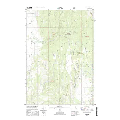
2017 Map of Meadows
USGS Topo · Published 2017About this map
The high valley floor of Meadows Valley serves as a transition between the timbered heights of the Payette National Forest and the growing lakeside settlement of McCall. While McCall clusters near the southern tip of Payette Lake, the older agricultural heart of the region remains centered at Meadows, where the Meadows Valley Cem and several namesake roads like Cemetery Rd and Clay Ln anchor the local history. The landscape is defined by its complex water network, including the North Fork Payette River and numerous diversions like Campbell Ditch and S End Ditch that irrigate the flats. Significant topographic features like Meadows Summit and Bear Basin separate the various drainages of Goose Cr and Fish Cr, illustrating the rugged geography that directed early mountain travel and timber activity.
Find a feature on this map
83 named features on this map. Tap any name to fly to it.
Don’t see what you’re looking for? This feature index may not catch every label — zoom into the map to look around manually.
Map Details
Editions of this 2017 Meadows Map
This is the sole edition of this map. No revisions or reprints were ever made.
Other maps of this area

1911 · Meadows
USGS Topo · 1:125,000

1938 · Riggins
USGS Topo · 1:96,000

1945 · Riggins
USGS Topo · 1:125,000

1954 · New Meadows
USGS Topo · 1:62,500

1955 · Baker
USGS Topo · 1:250,000

1955 · Grangeville
USGS Topo · 1:250,000

1959 · Baker
USGS Topo · 1:250,000

1959 · Grangeville
USGS Topo · 1:250,000

1963 · Bally Mountain
USGS Topo · 1:24,000

1963 · Granite Lake
USGS Topo · 1:24,000