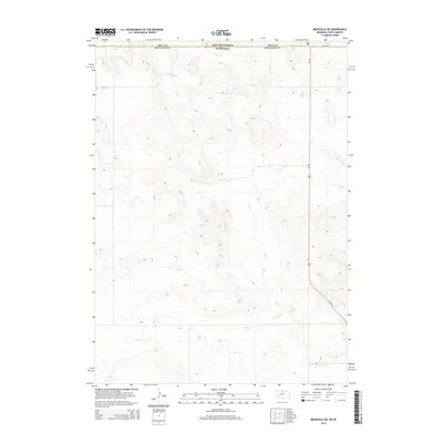
2014 Map of Meadville NE
USGS Topo · Published 2014About this map
Holt Cr meanders across this rural landscape along the border of Nebraska and South Dakota, providing a look at the open topography of Keya Paha County in the early 21st century. The map highlights the intersection of state-line boundaries, specifically where South Dakota Nebraska meet and the neighboring jurisdictions of Tripp Co Keya Paha Co align. The transportation network is defined by the straight north-south path of Us-183, which serves as the primary artery through this sparsely settled region. Aside from the arterial highway, local routes like 304th St segment the high plains, illustrating the grid-based land division that characterizes this portion of the American Midwest.
Find a feature on this map
5 named features on this map. Tap any name to fly to it.
Don’t see what you’re looking for? This feature index may not catch every label — zoom into the map to look around manually.
Map Details
Editions of this 2014 Meadville NE Map
This is the sole edition of this map. No revisions or reprints were ever made.
Other maps of this area

1950 · Meadville
USGS Topo · 1:24,000

1950 · Huddle Table
USGS Topo · 1:24,000

1955 · Mitchell
USGS Topo · 1:250,000

1955 · O'Neill
USGS Topo · 1:250,000

1959 · O'Neill
USGS Topo · 1:250,000

1959 · Mitchell
USGS Topo · 1:250,000

1964 · Dallas SW
USGS Topo · 1:24,000
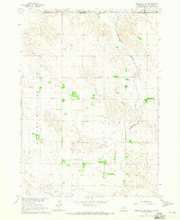
1964 · Meadville NW
USGS Topo · 1:24,000
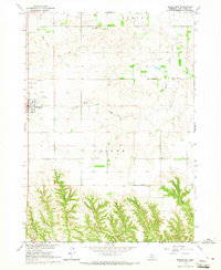
1964 · Springview
USGS Topo · 1:24,000
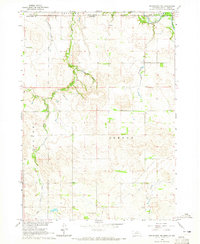
1964 · Springview NW
USGS Topo · 1:24,000