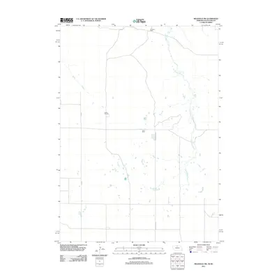
2011 Map of Meadville NW
USGS Topo · Published 2011About this map
Heerten Cemetery stands as a quiet focal point in this sparsely settled landscape of north-central Nebraska. The area is defined by wide-open grazing land and ranching operations, including the Schroeder Ranch to the north and Weston Ranch located near the center of the survey. The primary drainage system of Cottonwood Creek meanders through the eastern portion of the terrain, providing a natural water source for the surrounding livestock operations. Road infrastructure is limited to long-distance routes like Turkey Creek Rd and 2000 Rd E, reflecting the isolated nature of these Keya Paha County ranchlands. This document records a snapshot of early 21st-century rural life where geography is measured in miles between homesteads rather than by dense town centers.
Find a feature on this map
6 named features on this map. Tap any name to fly to it.
Don’t see what you’re looking for? This feature index may not catch every label — zoom into the map to look around manually.
Map Details
Editions of this 2011 Meadville NW Map
This is the sole edition of this map. No revisions or reprints were ever made.
Other maps of this area

1950 · Norden
USGS Topo · 1:62,500

1950 · Meadville
USGS Topo · 1:24,000

1950 · Huddle Table
USGS Topo · 1:24,000

1952 · Norden
USGS Topo · 1:62,500

1955 · Martin
USGS Topo · 1:250,000

1955 · Mitchell
USGS Topo · 1:250,000

1955 · O'Neill
USGS Topo · 1:250,000

1957 · Valentine
USGS Topo · 1:250,000

1958 · Martin
USGS Topo · 1:250,000

1959 · Valentine
USGS Topo · 1:250,000