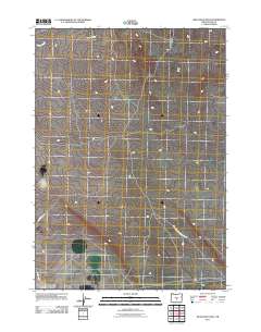
2011 Map of Mean Rock Well
USGS Topo · Published 2011About this map
Lost Forest Research Natl Area dominates the southeastern portion of this landscape in Lake County, Oregon, during the early 21st century. This arid high-desert environment is characterized by a sparse network of service routes and natural drainages rather than established towns. Peters Creek flows across the northern edge of the terrain, while the transit system is defined by utilitarian infrastructure such as Stone House Rd and Powerline Rd. The presence of the research area suggests a specialized ecological focus on the unique vegetation or geology of this high-plateau region, preserving a stretch of land where human impact is largely limited to the perimeter and scattered access roads.
Find a feature on this map
4 named features on this map. Tap any name to fly to it.
Don’t see what you’re looking for? This feature index may not catch every label — zoom into the map to look around manually.
Map Details
Editions of this 2011 Mean Rock Well Map
This is the sole edition of this map. No revisions or reprints were ever made.
Other maps of this area

1955 · Crescent
USGS Topo · 1:250,000

1957 · Crescent
USGS Topo · 1:250,000

1958 · Crescent
USGS Topo · 1:250,000

1970 · Crescent
USGS Topo · 1:250,000

1981 · Fossil Lake
USGS Topo · 1:24,000

1981 · Sand Rock
USGS Topo · 1:24,000

1981 · Moonlight Butte
USGS Topo · 1:24,000

1981 · Mean Rock Well
USGS Topo · 1:24,000

1982 · Peters Creek Sink
USGS Topo · 1:24,000

1982 · Christmas Lake
USGS Topo · 1:24,000