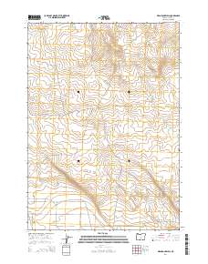
2014 Map of Mean Rock Well
USGS Topo · Published 2014About this map
Mean Rock Well and the remote high desert of Lake County define this landscape as it appeared in the early 21st century. The map centers on an arid region where life is tethered to intermittent water sources and a network of gravel and dirt thoroughfares. Stone House Rd and Wardell cut across the high plains, providing access to isolated points like Painter and the namesake Mean Rock Well. To the north, the seasonal drainage of Peters Cr and the dry bed of Bull Lk illustrate the survivalist nature of the terrain. This survey reflects the sparse human footprint in this part of Oregon, where land is primarily organized by the Public Land Survey System, marked here by the intersection of townships T24S and T25S.
Find a feature on this map
11 named features on this map. Tap any name to fly to it.
Don’t see what you’re looking for? This feature index may not catch every label — zoom into the map to look around manually.
Map Details
Editions of this 2014 Mean Rock Well Map
This is the sole edition of this map. No revisions or reprints were ever made.
Other maps of this area

1955 · Crescent
USGS Topo · 1:250,000

1957 · Crescent
USGS Topo · 1:250,000

1958 · Crescent
USGS Topo · 1:250,000

1970 · Crescent
USGS Topo · 1:250,000

1981 · Fossil Lake
USGS Topo · 1:24,000

1981 · Sand Rock
USGS Topo · 1:24,000

1981 · Moonlight Butte
USGS Topo · 1:24,000

1981 · Mean Rock Well
USGS Topo · 1:24,000

1982 · Peters Creek Sink
USGS Topo · 1:24,000

1982 · Christmas Lake
USGS Topo · 1:24,000