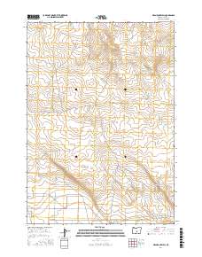
2017 Map of Mean Rock Well
USGS Topo · Published 2017About this map
Mean Rock Well sits as a central water feature in this high desert landscape of Lake County, Oregon. The terrain is defined by its isolation and the practical infrastructure required to navigate and utilize this arid basin. Primary access is facilitated by Stone House Rd, which cuts across the central townships, while Powerline Rd follows a straight north-south corridor through the western sections. In the northwestern corner, Peters Cr provides a natural drainage point near Co Hwy 5-13 B. This 2017 survey reflects the enduring character of Oregon's outback, where historical land divisions like T24S R19E and T25S R19E remain the primary markers for ranching and resource management in a territory where water sources like the well are vital landmarks.
Find a feature on this map
9 named features on this map. Tap any name to fly to it.
Don’t see what you’re looking for? This feature index may not catch every label — zoom into the map to look around manually.
Map Details
Editions of this 2017 Mean Rock Well Map
This is the sole edition of this map. No revisions or reprints were ever made.
Other maps of this area

1955 · Crescent
USGS Topo · 1:250,000

1957 · Crescent
USGS Topo · 1:250,000

1958 · Crescent
USGS Topo · 1:250,000

1970 · Crescent
USGS Topo · 1:250,000

1981 · Fossil Lake
USGS Topo · 1:24,000

1981 · Sand Rock
USGS Topo · 1:24,000

1981 · Moonlight Butte
USGS Topo · 1:24,000

1981 · Mean Rock Well
USGS Topo · 1:24,000

1982 · Peters Creek Sink
USGS Topo · 1:24,000

1982 · Christmas Lake
USGS Topo · 1:24,000