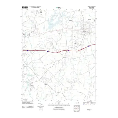
2010 Map of Mebane
USGS Topo · Published 2010About this map
The city of Mebane anchors the northeast quadrant of this study, positioned near Oakwood Cemetery as a major hub of local development. The landscape is defined by the winding course of the Haw River and its several tributaries, including Back Creek and Haw Creek, which flow through various residential clusters and agricultural tracts. Significant water bodies such as Quaker Creek Reservoir and Forest Lake punctuate the northern terrain, reflecting the region's managed water resources.
Find a feature on this map
75 named features on this map. Tap any name to fly to it.
Don’t see what you’re looking for? This feature index may not catch every label — zoom into the map to look around manually.
Map Details
Editions of this 2010 Mebane Map
This is the sole edition of this map. No revisions or reprints were ever made.
Other maps of this area

1953 · Raleigh
USGS Topo · 1:250,000

1953 · Greensboro
USGS Topo · 1:250,000

1954 · Greensboro
USGS Topo · 1:250,000

1954 · Raleigh
USGS Topo · 1:250,000

1962 · Greensboro
USGS Topo · 1:250,000

1966 · Greensboro
USGS Topo · 1:250,000

1967 · Cedar Grove
USGS Topo · 1:24,000

1968 · White Cross
USGS Topo · 1:24,000

1968 · Efland
USGS Topo · 1:24,000

1969 · Burlington
USGS Topo · 1:24,000