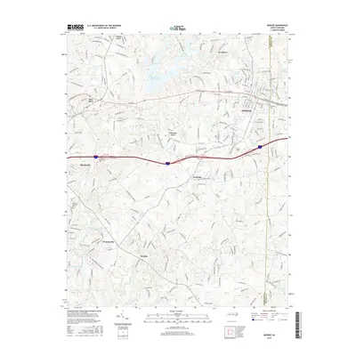
2016 Map of Mebane
USGS Topo · Published 2016About this map
Mebane and Graham anchor this portion of the North Carolina Piedmont, showcasing a landscape defined by the winding course of the Haw River and its many tributaries. The area exhibits a dense network of suburban growth and historical settlements like Florence Town and Swepsonville, where residential development intermingles with local landmarks such as Oakwood Cem and the Graham Memorial Park. The infrastructure of the North Carolina railroad and major interstate corridors facilitates the modern economy, while water features like Quaker Cr Reservoir and Lake Michael provide significant points of reference. This 2016 survey captures the region as it balances its agricultural roots in places like Hawfields and Melville with the increasing urbanization radiating from its historic town centers.
Find a feature on this map
238 named features on this map. Tap any name to fly to it.
Don’t see what you’re looking for? This feature index may not catch every label — zoom into the map to look around manually.
Map Details
Editions of this 2016 Mebane Map
This is the sole edition of this map. No revisions or reprints were ever made.
Other maps of this area

1953 · Raleigh
USGS Topo · 1:250,000

1953 · Greensboro
USGS Topo · 1:250,000

1954 · Greensboro
USGS Topo · 1:250,000

1954 · Raleigh
USGS Topo · 1:250,000

1962 · Greensboro
USGS Topo · 1:250,000

1966 · Greensboro
USGS Topo · 1:250,000

1967 · Cedar Grove
USGS Topo · 1:24,000

1968 · White Cross
USGS Topo · 1:24,000

1968 · Efland
USGS Topo · 1:24,000

1969 · Burlington
USGS Topo · 1:24,000