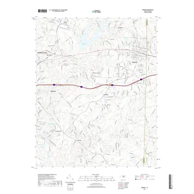
2019 Map of Mebane
USGS Topo · Published 2019About this map
Mebane and Burlington anchor this Piedmont landscape where industrial development meets longstanding rural communities. The Haw River cuts through the western portion of the map, serving as a historic corridor for settlements like Haw River and Swepsonville. In the center, Quaker Creek Reservoir provides a significant water feature, bordered by smaller communities such as Florence Town and the crossroads at Hawfields.
Find a feature on this map
250 named features on this map. Tap any name to fly to it.
Don’t see what you’re looking for? This feature index may not catch every label — zoom into the map to look around manually.
Map Details
Editions of this 2019 Mebane Map
This is the sole edition of this map. No revisions or reprints were ever made.
Other maps of this area

1953 · Raleigh
USGS Topo · 1:250,000

1953 · Greensboro
USGS Topo · 1:250,000

1954 · Greensboro
USGS Topo · 1:250,000

1954 · Raleigh
USGS Topo · 1:250,000

1962 · Greensboro
USGS Topo · 1:250,000

1966 · Greensboro
USGS Topo · 1:250,000

1967 · Cedar Grove
USGS Topo · 1:24,000

1968 · White Cross
USGS Topo · 1:24,000

1968 · Efland
USGS Topo · 1:24,000

1969 · Burlington
USGS Topo · 1:24,000