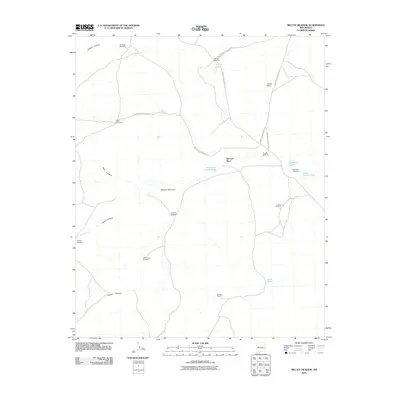
2010 Map of Mecate Meadow
USGS Topo · Published 2010About this map
McCord Place serves as a lone human waypoint in this high-desert landscape of Cibola County, where survival depends on a network of remote water infrastructure. The terrain is marked by deep incisions such as Rincon Hondo and Brazo Canyon, which frame the open expanse of Mecate Meadow. A notable reliance on groundwater is evident through the density of named wind-powered wells, including the Knoblock Windmill and the aptly named Last Chance Windmill. These features, along with several water tanks like Summers Tank and Horse Pasture Tank, illustrate the pastoral economy of the region. Transportation is defined by Bureau of Indian Affairs routes, specifically Indian Service Route 213 and Indian Service Route 21, which provide the primary access through this arid ranching territory.
Find a feature on this map
24 named features on this map. Tap any name to fly to it.
Don’t see what you’re looking for? This feature index may not catch every label — zoom into the map to look around manually.
Map Details
Editions of this 2010 Mecate Meadow Map
This is the sole edition of this map. No revisions or reprints were ever made.
Other maps of this area

1917 · Broom Mountain
USGS Topo · 1:125,000

1954 · Socorro
USGS Topo · 1:250,000

1958 · Socorro
USGS Topo · 1:250,000
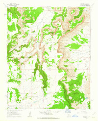
1961 · East Mesa
USGS Topo · 1:24,000
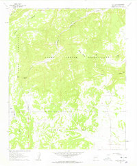
1961 · Blue Mesa
USGS Topo · 1:24,000
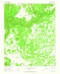
1961 · Laguna Honda
USGS Topo · 1:24,000

1962 · Socorro
USGS Topo · 1:250,000
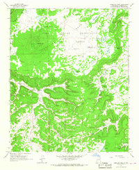
1964 · Cebollita Peak
USGS Topo · 1:24,000

1964 · Wiley Mesa
USGS Topo · 1:24,000
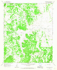
1964 · Mecate Meadow
USGS Topo · 1:24,000