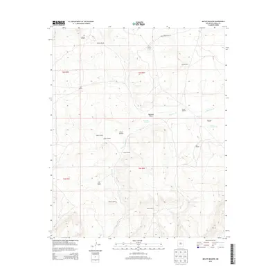
2013 Map of Mecate Meadow
USGS Topo · Published 2013About this map
McCord Place serves as a central reference point in this high-desert landscape of Cibola County, where the management of water is the primary footprint on the land. The presence of numerous named water sources, such as Red Lakes N Tanks and Cactus Lakes, alongside a network of family-named pumping stations including Knoblock Windmill, Mirabal Windmill, and Dunn Windmill, highlights the critical role of livestock ranching in this region. The topography is defined by significant drainage systems like Blue Water Cr and deep cuts such as Brazo Canyon and Gibson Canyon. Access to this remote area is facilitated by Indian Service Route 214, which cuts across the northern reaches near Cactus Point. The namesake Mecate Meadow sits tucked between the canyons, illustrating the pocketed grazing lands that have supported local operations for generations.
Find a feature on this map
27 named features on this map. Tap any name to fly to it.
Don’t see what you’re looking for? This feature index may not catch every label — zoom into the map to look around manually.
Map Details
Editions of this 2013 Mecate Meadow Map
This is the sole edition of this map. No revisions or reprints were ever made.
Other maps of this area

1917 · Broom Mountain
USGS Topo · 1:125,000

1954 · Socorro
USGS Topo · 1:250,000

1958 · Socorro
USGS Topo · 1:250,000
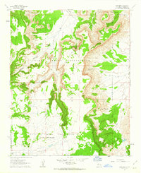
1961 · East Mesa
USGS Topo · 1:24,000
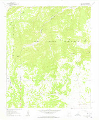
1961 · Blue Mesa
USGS Topo · 1:24,000
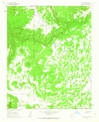
1961 · Laguna Honda
USGS Topo · 1:24,000

1962 · Socorro
USGS Topo · 1:250,000
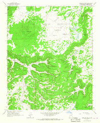
1964 · Cebollita Peak
USGS Topo · 1:24,000

1964 · Wiley Mesa
USGS Topo · 1:24,000
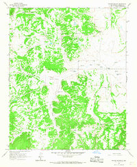
1964 · Mecate Meadow
USGS Topo · 1:24,000