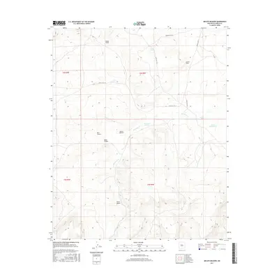
2017 Map of Mecate Meadow
USGS Topo · Published 2017About this map
Mecate Meadow defines this high-elevation landscape in Cibola County, where seasonal drainage networks and catchments support land use in an arid environment. The map details a sophisticated system of Bureau of Indian Affairs infrastructure, including Indian Svc Rte 21, Indian Svc Rte 213, and Indian Svc Rte 214. These routes navigate around significant topographic features like Cactus Point and the deep incisions of West Canyon and Brazo Canyon.
Find a feature on this map
19 named features on this map. Tap any name to fly to it.
Don’t see what you’re looking for? This feature index may not catch every label — zoom into the map to look around manually.
Map Details
Editions of this 2017 Mecate Meadow Map
This is the sole edition of this map. No revisions or reprints were ever made.
Other maps of this area

1917 · Broom Mountain
USGS Topo · 1:125,000

1954 · Socorro
USGS Topo · 1:250,000

1958 · Socorro
USGS Topo · 1:250,000
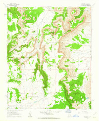
1961 · East Mesa
USGS Topo · 1:24,000
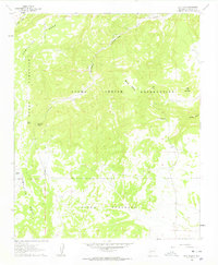
1961 · Blue Mesa
USGS Topo · 1:24,000
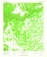
1961 · Laguna Honda
USGS Topo · 1:24,000

1962 · Socorro
USGS Topo · 1:250,000
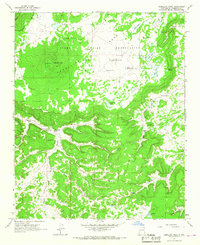
1964 · Cebollita Peak
USGS Topo · 1:24,000

1964 · Wiley Mesa
USGS Topo · 1:24,000
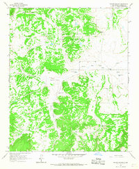
1964 · Mecate Meadow
USGS Topo · 1:24,000