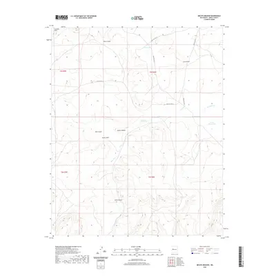
2020 Map of Mecate Meadow
USGS Topo · Published 2020About this map
Cebollita Mesa dominates the northern reaches of this high-altitude landscape, where the plateau surface gives way to the drainage systems of West Canyon and Brazo Canyon. This 2020 topographical study of Cibola County illustrates a region defined by seasonal water management and Indigenous service infrastructure. The naming of Mecate Meadow suggests traditional ranching or equestrian roots in the heart of the quadrangle.
Find a feature on this map
20 named features on this map. Tap any name to fly to it.
Don’t see what you’re looking for? This feature index may not catch every label — zoom into the map to look around manually.
Map Details
Editions of this 2020 Mecate Meadow Map
This is the sole edition of this map. No revisions or reprints were ever made.
Other maps of this area

1917 · Broom Mountain
USGS Topo · 1:125,000

1954 · Socorro
USGS Topo · 1:250,000

1958 · Socorro
USGS Topo · 1:250,000
1961 · East Mesa
USGS Topo · 1:24,000
1961 · Blue Mesa
USGS Topo · 1:24,000
1961 · Laguna Honda
USGS Topo · 1:24,000

1962 · Socorro
USGS Topo · 1:250,000
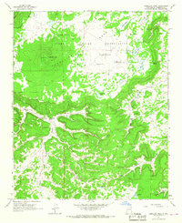
1964 · Cebollita Peak
USGS Topo · 1:24,000

1964 · Wiley Mesa
USGS Topo · 1:24,000
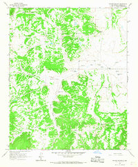
1964 · Mecate Meadow
USGS Topo · 1:24,000