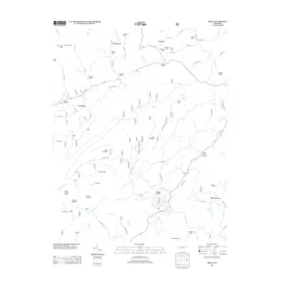
2013 Map of Mecca
USGS Topo · Published 2013About this map
Macedonia and Prospect anchor the northern reaches of this East Tennessee landscape, where the terrain is defined by a dense network of ridges and drainage basins. The settlement patterns follow the winding paths of Conasauga Cr and its tributaries, including Thompson Br and Elliot Br. To the south, Bullet Creek and Holly Springs sit amidst high points like Chestnut Mountain and Locust Mountain. This area is notable for its numerous family-named hollows, such as Beasley Hollow, Casteel Hollow, and Millsaps Hollow, which reflect long-standing local landownership and community identity in Monroe County. The map also highlights distinctive physical landmarks like White Cliff and the broad geographic feature known simply as The Basin, offering a detailed view of the rural upland environment.
Find a feature on this map
113 named features on this map. Tap any name to fly to it.
Don’t see what you’re looking for? This feature index may not catch every label — zoom into the map to look around manually.
Map Details
Editions of this 2013 Mecca Map
This is the sole edition of this map. No revisions or reprints were ever made.
Other maps of this area

1886 · Cleveland
USGS Topo · 1:125,000

1892 · Cleveland
USGS Topo · 1:125,000

1893 · Murphy
USGS Topo · 1:125,000

1895 · Cleveland
USGS Topo · 1:125,000

1901 · Cleveland
USGS Topo · 1:125,000

1914 · Murphy
USGS Topo · 1:125,000

1934 · Mount Vernon
USGS Topo · 1:24,000

1934 · Mecca
USGS Topo · 1:24,000

1934 · Englewood
USGS Topo · 1:24,000

1934 · Tellico Plains
USGS Topo · 1:24,000