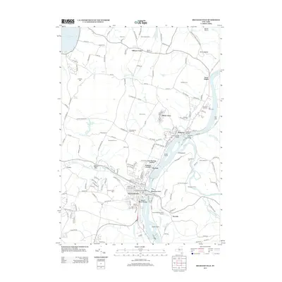
2013 Map of Mechanicville
USGS Topo · Published 2013About this map
Mechanicville serves as the industrial and transportation hub of this Saratoga County landscape, where the Hudson River meets the historic Champlain Canal. The town's layout reflects a dense residential and commercial core, featuring the Union Depot and the Mechanicville City Dock along the riverfront. To the north, the village of Stillwater sits at a strategic crossing, connected by the Stillwater Bridge and the Schuyler Creek Bridge. The map reveals a transition from these urban centers to a more agricultural and commemorative landscape, marked by family-named farms like Ropitzky Farms and numerous historic burial grounds, including the Yellow Meeting House Cem and Stillwater Union Cem.
Find a feature on this map
161 named features on this map. Tap any name to fly to it.
Don’t see what you’re looking for? This feature index may not catch every label — zoom into the map to look around manually.
Map Details
Editions of this 2013 Mechanicville Map
This is the sole edition of this map. No revisions or reprints were ever made.
Other maps of this area

1893 · Cohoes
USGS Topo · 1:62,500

1893 · Schenectady
USGS Topo · 1:62,500

1895 · Cohoes
USGS Topo · 1:62,500

1895 · Schenectady
USGS Topo · 1:62,500

1898 · Schenectady
USGS Topo · 1:62,500

1898 · Cohoes
USGS Topo · 1:62,500

1900 · Schuylerville
USGS Topo · 1:62,500

1902 · Saratoga
USGS Topo · 1:62,500

1929 · Cohoes
USGS Topo · 1:62,500

1930 · Schenectady
USGS Topo · 1:62,500