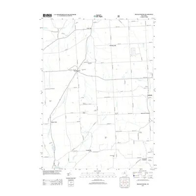
2013 Map of Mecklenburg
USGS Topo · Published 2013About this map
Mecklenburg and Enfield anchor this rural landscape in the Finger Lakes region, where a dense network of country roads connects high ridges and deep inlets. The terrain is defined by the significant rise of Connecticut Hill and Buck Hill, with numerous small watercourses like Taughannock Cr and Cayuta Inlet carving through the glacial topography. Genealogical researchers will find a wealth of specific local landmarks, including the McIntyre Settlement Cem, Rumsey Hill Cem, and the Carman Road Quaker Cem.
Find a feature on this map
90 named features on this map. Tap any name to fly to it.
Don’t see what you’re looking for? This feature index may not catch every label — zoom into the map to look around manually.
Map Details
Editions of this 2013 Mecklenburg Map
This is the sole edition of this map. No revisions or reprints were ever made.
Other maps of this area

1893 · Ithaca
USGS Topo · 1:62,500

1895 · Ithaca
USGS Topo · 1:62,500

1898 · Watkins Glen
USGS Topo · 1:62,500

1901 · Watkins
USGS Topo · 1:62,500

1902 · Genoa
USGS Topo · 1:62,500

1902 · Ovid
USGS Topo · 1:62,500

1905 · Watkins Glen
USGS Topo · 1:125,000

1942 · Ludlowville
USGS Topo · 1:24,000

1942 · Lodi
USGS Topo · 1:24,000

1942 · Trumansburg
USGS Topo · 1:24,000