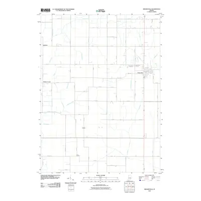
2010 Map of Medaryville
USGS Topo · Published 2010About this map
Medaryville serves as the primary hub in this corner of Northwest Indiana, where a highly engineered landscape of drainage ditches and laterals reflects a history of reclaiming fertile farmland from wetlands. Names like Stump Slough Ditch, Salrin and Cox Ditch, and Ryan Ditch trace the intricate system of water management that defines the rural character of Pulaski County. Outside the main settlement, smaller locales like Asphaltum and Baileys Corner anchor the grid of country roads. For genealogists, the map preserves the exact locations of several local burial grounds, including Saint Henrys Cemetery and Saint Marks Cemetery just north of town, alongside the more isolated Robinson Cemetery and Mason Cemetery to the south. This network of lateral drains and family-named ditches provides a blueprint of the region's agricultural development into the early 21st century.
Find a feature on this map
50 named features on this map. Tap any name to fly to it.
Don’t see what you’re looking for? This feature index may not catch every label — zoom into the map to look around manually.
Map Details
Editions of this 2010 Medaryville Map
This is the sole edition of this map. No revisions or reprints were ever made.
Other maps of this area

1953 · Chicago
USGS Topo · 1:250,000

1953 · Danville
USGS Topo · 1:250,000

1955 · Danville
USGS Topo · 1:250,000

1956 · Danville
USGS Topo · 1:250,000

1957 · Chicago
USGS Topo · 1:250,000

1957 · Wheatfield
USGS Topo · 1:24,000

1959 · North Judson
USGS Topo · 1:24,000

1959 · San Pierre
USGS Topo · 1:24,000

1962 · Monon NE
USGS Topo · 1:24,000

1962 · Medaryville
USGS Topo · 1:24,000