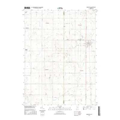
2016 Map of Medaryville
USGS Topo · Published 2016About this map
Medaryville serves as the primary hub in this corner of Northwest Indiana, situated along the county line between Jasper Co and Pulaski Co. The landscape is defined by an intricate network of drainage channels, reflecting a region deeply shaped by agricultural reclamation. Local water management is evident in the paths of Stump Slough Ditch, Chris Salrin Lateral, and the Mosley Br, which crisscross the low-lying terrain.
Find a feature on this map
88 named features on this map. Tap any name to fly to it.
Don’t see what you’re looking for? This feature index may not catch every label — zoom into the map to look around manually.
Map Details
Editions of this 2016 Medaryville Map
This is the sole edition of this map. No revisions or reprints were ever made.
Other maps of this area

1953 · Chicago
USGS Topo · 1:250,000

1953 · Danville
USGS Topo · 1:250,000

1955 · Danville
USGS Topo · 1:250,000

1956 · Danville
USGS Topo · 1:250,000

1957 · Chicago
USGS Topo · 1:250,000

1957 · Wheatfield
USGS Topo · 1:24,000

1959 · North Judson
USGS Topo · 1:24,000

1959 · San Pierre
USGS Topo · 1:24,000

1962 · Monon NE
USGS Topo · 1:24,000

1962 · Medaryville
USGS Topo · 1:24,000