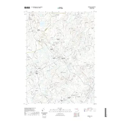
2021 Map of Medfield
USGS Topo · Published 2021About this map
The Charles River winds through this section of the Massachusetts suburbs, defining the boundaries and lowlands between Medfield, Millis, and Sherborn. The landscape is a complex mix of protected open space, early industrial heritage, and modern residential growth, characterized by significant elevation changes at Noanet Peak and Noon Hill. Regional recreation is anchored by the Bay Circuit Trl, which connects various conservation lands and landmarks.
Find a feature on this map
263 named features on this map. Tap any name to fly to it.
Don’t see what you’re looking for? This feature index may not catch every label — zoom into the map to look around manually.
Map Details
Editions of this 2021 Medfield Map
This is the sole edition of this map. No revisions or reprints were ever made.
Other maps of this area

1886 · Dedham
USGS Topo · 1:62,500

1886 · Framingham
USGS Topo · 1:62,500

1887 · Franklin
USGS Topo · 1:62,500

1889 · Franklin
USGS Topo · 1:62,500

1889 · Framingham
USGS Topo · 1:62,500

1893 · Franklin
USGS Topo · 1:62,500

1893 · Boston
USGS Topo · 1:62,500

1894 · Dedham
USGS Topo · 1:62,500

1894 · Framingham
USGS Topo · 1:62,500

1903 · Boston
USGS Topo · 1:62,500