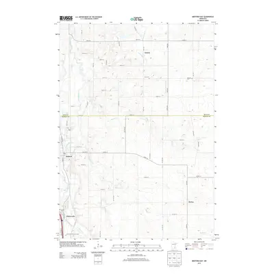
2013 Map of Medford East
USGS Topo · Published 2013About this map
The Straight River corridor defines the western edge of this landscape, where the settlements of Medford and Clinton Falls sit along the riverbanks. Moving eastward across the county line between Rice and Steele, the terrain transitions into a patchwork of rural farmland and tributary systems, including the headwaters of the N Fork Zumbro River near Walcott. The map reveals a high density of early burial grounds that serve as vital markers for local family history, ranging from the Union Cem on the western bluffs to the Richland Cem and Eklund Cem further east.
Find a feature on this map
35 named features on this map. Tap any name to fly to it.
Don’t see what you’re looking for? This feature index may not catch every label — zoom into the map to look around manually.
Map Details
Editions of this 2013 Medford East Map
This is the sole edition of this map. No revisions or reprints were ever made.
Other maps of this area

1953 · Saint Paul
USGS Topo · 1:250,000

1959 · Saint Paul
USGS Topo · 1:250,000

1960 · Faribault
USGS Topo · 1:24,000

1960 · Cannon City
USGS Topo · 1:24,000

1960 · Nerstrand
USGS Topo · 1:24,000

1962 · Medford East
USGS Topo · 1:24,000

1962 · Owatonna
USGS Topo · 1:24,000

1962 · Moland
USGS Topo · 1:24,000

1962 · Owatonna SE
USGS Topo · 1:24,000

1962 · Saco
USGS Topo · 1:24,000