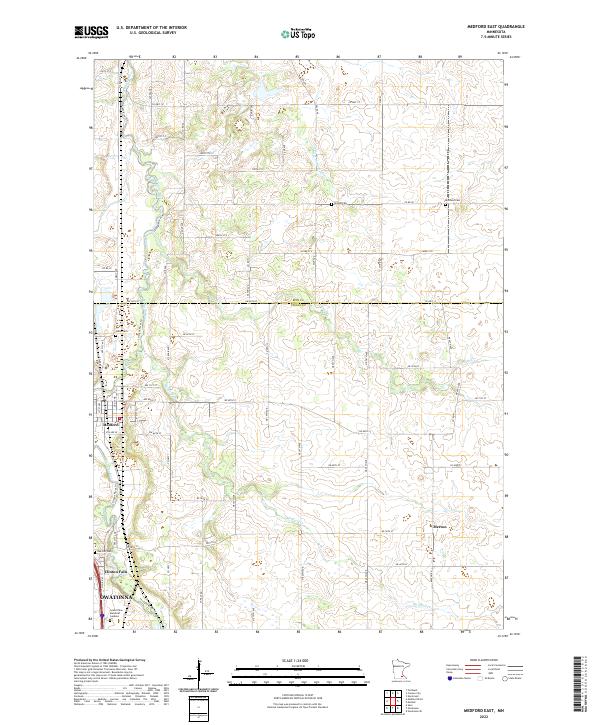
2022 Map of Medford East
USGS Topo · Published 2022About this map
The Straight River valley carves through the central portion of this Steele County landscape, serving as a primary corridor for settlement and modern infrastructure. Along its western banks, the community of Medford is shown with its grid of residential streets, while the northern outskirts of Owatonna begin to emerge at the southern boundary. This area is characterized by a high concentration of memorial sites and burial grounds, including the Richland Cem to the northeast and Oak Hill Cem near Clinton Falls.
Find a feature on this map
42 named features on this map. Tap any name to fly to it.
Don’t see what you’re looking for? This feature index may not catch every label — zoom into the map to look around manually.
Map Details
Editions of this 2022 Medford East Map
This is the sole edition of this map. No revisions or reprints were ever made.
Other maps of this area

1953 · Saint Paul
USGS Topo · 1:250,000

1959 · Saint Paul
USGS Topo · 1:250,000

1960 · Faribault
USGS Topo · 1:24,000

1960 · Cannon City
USGS Topo · 1:24,000

1960 · Nerstrand
USGS Topo · 1:24,000

1962 · Medford East
USGS Topo · 1:24,000

1962 · Owatonna
USGS Topo · 1:24,000

1962 · Moland
USGS Topo · 1:24,000

1962 · Owatonna SE
USGS Topo · 1:24,000

1962 · Saco
USGS Topo · 1:24,000