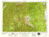
1958 Map of Medford
USGS Topo · Published 1958About this map
The Rogue River valley serves as the central corridor for Southern Oregon's mid-century development, where the Southern Pacific RR and U.S. 99 link the major hubs of Medford, Grants Pass, and Ashland. This 1950s Army Map Service compilation illustrates the region's diverse landscape, from the timber-rich Siskiyou National Forest to the volcanic peaks of the Cascade Range. Small communities such as Central Point, Phoenix, and Talent are shown along the primary transportation routes, while more remote settlements like Butte Falls and Prospect indicate the reach of early mountain industry.
Find a feature on this map
243 named features on this map. Tap any name to fly to it.
Don’t see what you’re looking for? This feature index may not catch every label — zoom into the map to look around manually.
Map Details
Editions of this 1958 Medford Map
This is the sole edition of this map. No revisions or reprints were ever made.
Other maps of this area

1886 · Modoc Lava Bed
USGS Topo · 1:250,000

1886 · Shasta
USGS Topo · 1:250,000
1889 · Klamath
USGS Topo · 1:250,000
1891 · Ashland
USGS Topo · 1:250,000

1892 · Modoc Lava-Bed
USGS Topo · 1:250,000
1893 · Ashland
USGS Topo · 1:250,000
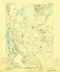
1894 · Klamath
USGS Topo · 1:250,000

1894 · Shasta
USGS Topo · 1:250,000
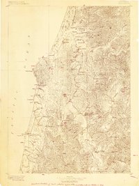
1896 · Coos Bay
USGS Topo · 1:125,000
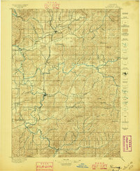
1897 · Roseburg
USGS Topo · 1:125,000