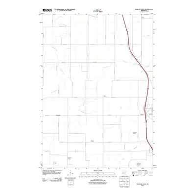
2010 Map of Medford West
USGS Topo · Published 2010About this map
Deerfield and the outskirts of Owatonna anchor this landscape in Steele County, where the transition from agriculture to aviation is visible through several distinct landmarks. The southern portion of the map is defined by the Owatonna Municipal Airport and the smaller Underland Airstrip, while the northern and western regions remain dominated by a grid of rural roads and the winding path of Mackenzie Creek. An interesting hydrological feature is the Pelican Lake Bed in the southwest, suggesting a drained or seasonal basin common to this part of the Minnesota prairie.
Find a feature on this map
53 named features on this map. Tap any name to fly to it.
Don’t see what you’re looking for? This feature index may not catch every label — zoom into the map to look around manually.
Map Details
Editions of this 2010 Medford West Map
This is the sole edition of this map. No revisions or reprints were ever made.
Other maps of this area

1953 · Saint Paul
USGS Topo · 1:250,000

1959 · Saint Paul
USGS Topo · 1:250,000

1960 · Faribault
USGS Topo · 1:24,000

1960 · Cannon City
USGS Topo · 1:24,000

1960 · Shieldsville
USGS Topo · 1:24,000

1962 · Medford East
USGS Topo · 1:24,000

1962 · Morristown
USGS Topo · 1:24,000

1962 · Owatonna
USGS Topo · 1:24,000

1962 · Saco
USGS Topo · 1:24,000

1962 · Meriden
USGS Topo · 1:24,000